Day 15 – Cutler to Lubec
At the town dock a lobster boat was propped up on its keel, leaning against the thick logs supporting the structure. The owner was cleaning the hull, he had taken advantage of the large tide to get his boat out of the water. When we left the picturesque harbor for Lubec we were immediately back in ominous fog. Cliffs and rocks would materialize to our northwest, only to hide behind the fog moments later.
The winds were light and we were in a rush to reach Lubec, or rather the bridge between Lubec and Campobello Island. There, the FDR Bridge spans between Maine and New Brunswick, some forty six feet above the water at mean high tide.
Now this would be a trivial problem, if we knew the exact height of Isla. But what we knew is the height of the mast above the deck, which leaves room for error. The addition of windvane and the distance from the deck to waterline left us with a guess. Isla is probably between 44 and 46 feet tall.
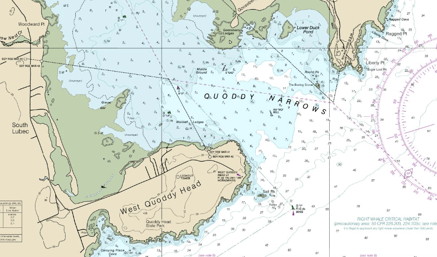
We rounded West Quoddy Head, and caught a glimpse of the lighthouse. Despite being the eastern most thing in the United States and lacking any ‘East’ equivalent, it’s qualified by ‘West’.
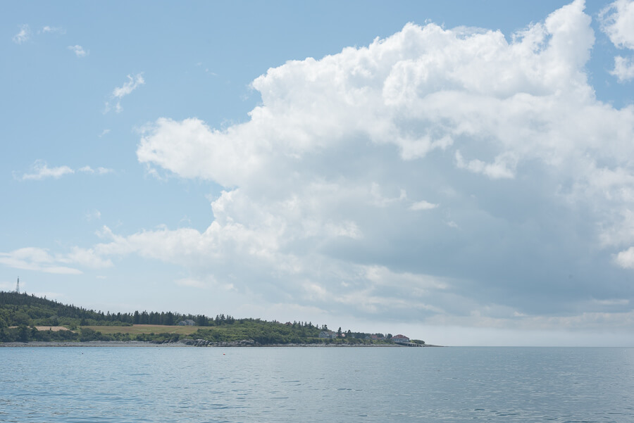
We came out of the fog into a beautiful clear sunny view of the mainland, but quickly moved back into patchy low lying fog.
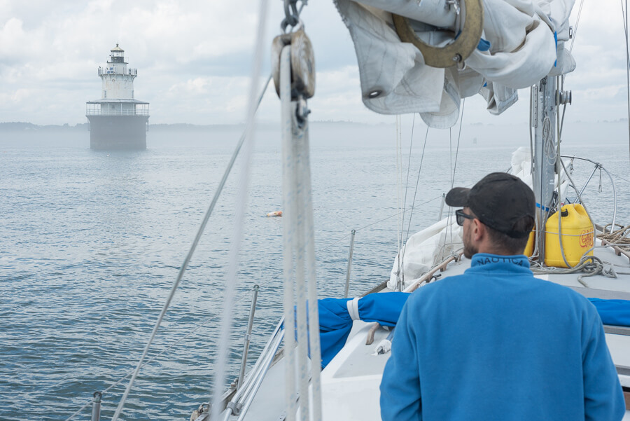
We followed the channel markers to Lubec Channel Light, where the bridge came into view. I moved to the very back of Isla, hoping to get a better idea of her height relative to the bridge.
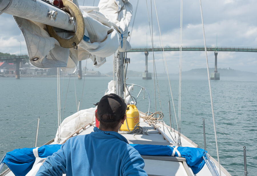
From the deck it really was impossible to tell if we’d fit before already at risk of demasting. So that’s what we did, the current pushed us forward too quickly for comfort, and as we moved close the perceptible gap between the top of the mast the the highest arc of the bridge shrank to alarming levels.
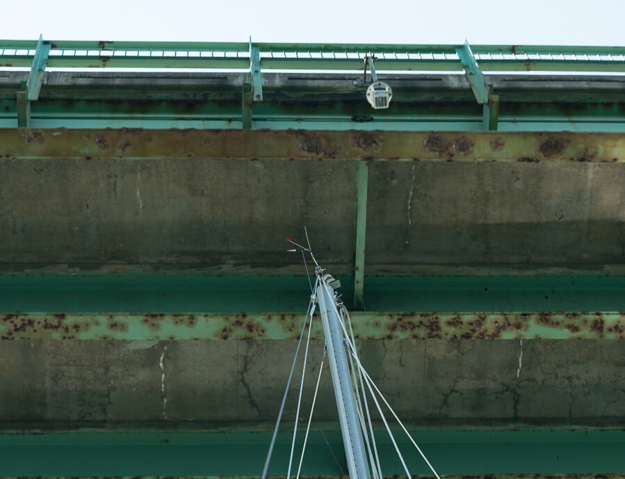
The moment of truth came; we both expected at least the antenna on top of the mast to bend over, but it did not. Who knows how big the gap actually was. We tied up at the town dock in Lubec and walked around the tiny town.
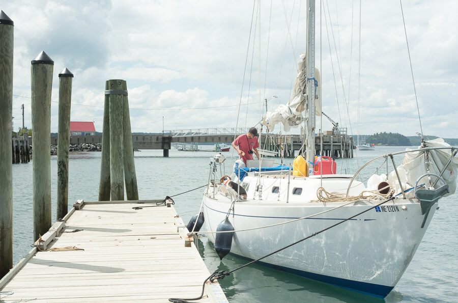
The 1500 person town sits on a peninsular hill and has wonderful views of Passamaqouddy Bay to the north. I wondered how many people watched us clear the bridge, and if they’d witnessed anyone lose a mast. Andrew called the harbor master and they offered us the town mooring for the night. We were in fact the first boat to ever use the mooring; it had been installed recently.
As we left the town dock, The Dingy, towed behind, swung into the hard corner of the float. The line drew taught, and she pulled off the corner, but two holes were punched through the fiberglass. One just above the waterline, and the other into the formerly airtight chamber below the bow seat.
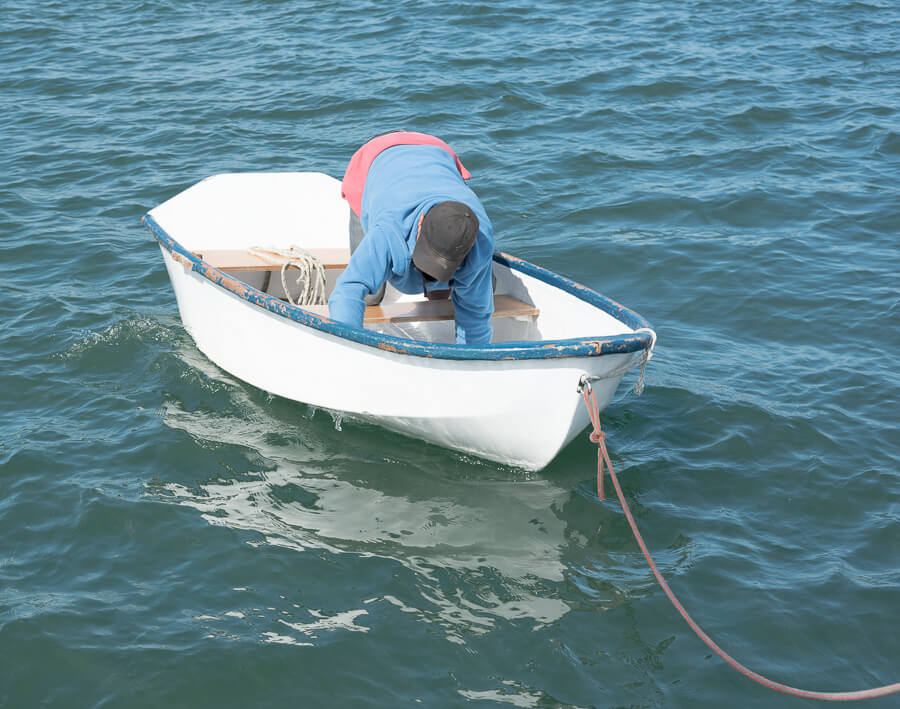
We grabbed the town mooring and Andrew got out the duct tape for a quick fix of the holes. It was enough to float us into town anyways. Back on land we watched the current push through the channel into the bay, forming large eddies on either side. Seals and seabirds were feasting, the former surfacing with loud exhales before regaining their breath and diving for more fish.
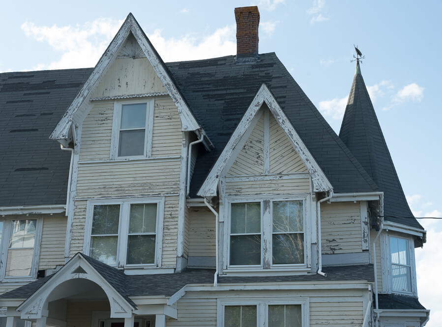
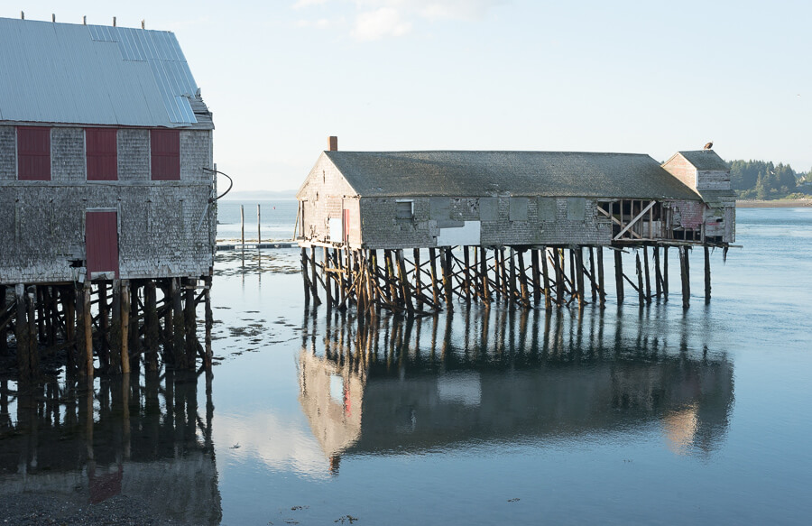
Pictured above is part of McCurdy’s Smokehouse, the last traditional herring smokehouse in Maine. A blizzard has since washed the right building, the brine house, into the waters between Maine and New Brunswick, where it lies in legal purgatory, like everything else in the waters between the United States and Canada.
We returned to the boat to fish, and ate a fishless dinner on Isla as the sun set. Putting the duct tape repair through its paces, we rowed back into town to use the wifi at the public library before bed.
2 Replies to “Day 15 – Cutler to Lubec”
Please tell me you guys stopped to visit the colorful folks at the museum!?! I think that was the best $6 or so I spent during the summer of 2016! 🙂
We didn’t make it into the museum, unfortunately Caly isn’t much of a museum goer . Thanks for reading!